Search when you know the place
Enter a suburb or postcode in either search field. Suggestions can take you straight to the most relevant local page or station.

Locations directory
Search a suburb or postcode, or browse the first places in each region. All 36 locations remain available when you need the full list.

Browse the first six places in each region, search by name or postcode, or show the full 36-location list.
36 locations in this directory.
Use the directory
Choose the narrowest view that answers what you need before you drive.
Enter a suburb or postcode in either search field. Suggestions can take you straight to the most relevant local page or station.
Start with the six places shown under each region. If the place you need is not there, search by name or postcode or open the full 36-location list.
On the local page, compare the reported price, fuel grade, report time and distance. Confirm the final price at the bowser before paying.
Directory help
This page is for finding a suburb or postcode. The Australian Capital Territory price page owns the live statewide average, lowest reported prices and trend.
FuelRadar app
Save regular stations and check reported prices wherever you are.
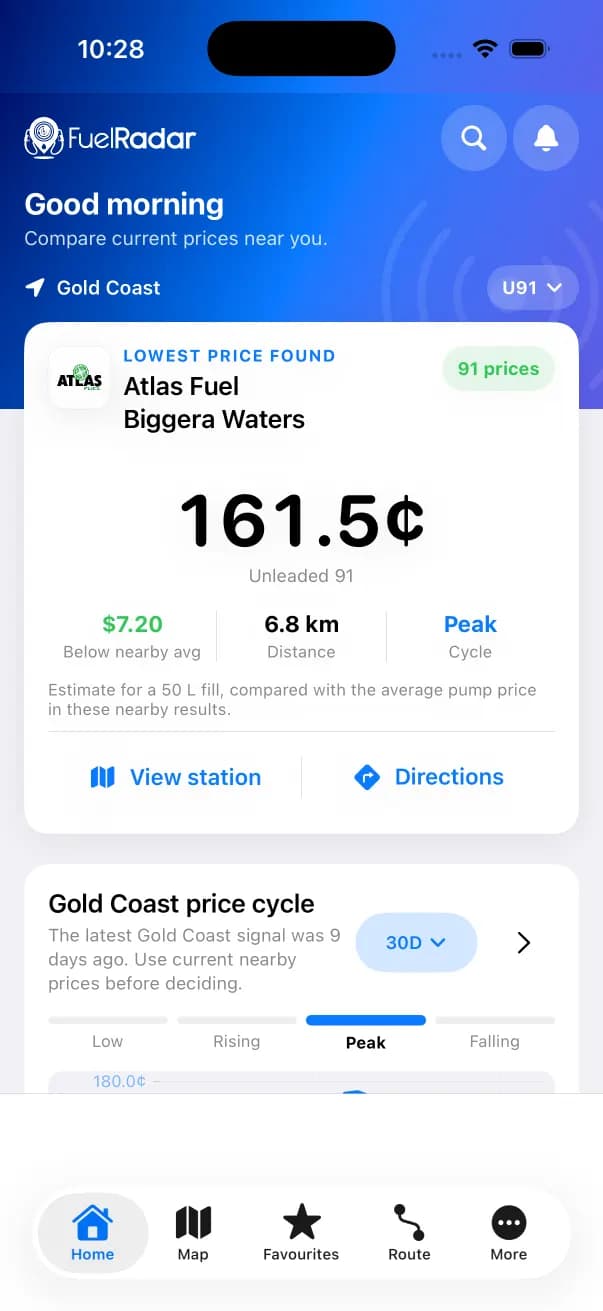
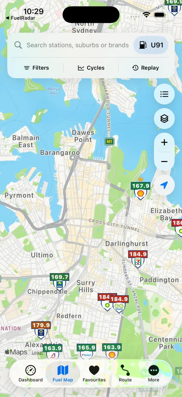
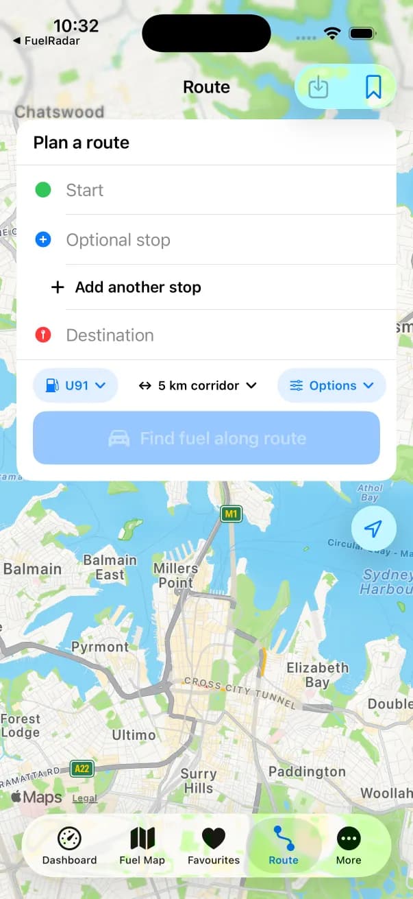
Captured from the current FuelRadar iPhone app. Prices shown are examples from the capture.